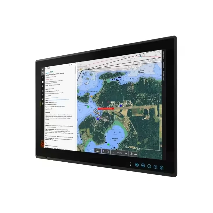
A chartplotter can show you almost everything happening around your boat — if you know what you’re actually looking at. Most owners use maybe a third of what’s on screen. Here’s how to read the rest of it.
Your boat icon isn’t just a dot
The direction it points shows your current heading, and most plotters draw a short projected course line ahead of it — a preview of where you’ll be in the next minute or two at your current speed and heading, not just where you are right now. Watching that line, not just the icon itself, is how you catch a course drifting off-track before it becomes a real problem.
Layering data without drowning the screen
Modern chartplotters can overlay radar, AIS targets, sonar, and weather on the same chart view — but running everything at once turns the screen into noise. Most experienced users keep a clean chart view for general navigation and switch to a combined overlay only when conditions call for it, like approaching traffic in poor visibility.
Reading depth contour lines
The thin lines running through the water on your chart are depth contours, connecting points of equal depth — read them the way you’d read elevation lines on a topographic map. Tightly spaced contour lines mean a steep drop-off; widely spaced lines mean a gradual slope. This is often more useful for finding structure than watching your sounder alone, since it shows the whole area at once instead of just what’s directly under the boat.
Waypoints and routes — the feature most owners underuse
A waypoint marks a single point; a route strings several waypoints together into a planned path. Marking waypoints for hazards, favorite fishing spots, or a tricky channel entrance once means you never have to relocate them by memory again — and a saved route through a technical inlet removes the guesswork on a return trip in different light or tide conditions.
Split-screen views — use them deliberately
Splitting the screen between chart and sonar, or chart and radar, means less real estate for each — useful when you genuinely need both at once (running an inlet while watching for structure below), less useful as a permanent default that just makes everything smaller and harder to read at a glance.
Alarms most people never set up
- Arrival alarm — alerts when you’re approaching a waypoint
- Off-course alarm — warns if you drift beyond a set distance from your planned route
- Shallow water alarm — set to your boat’s draft plus a safety margin, catches a depth problem before you feel the bottom
These run silently until needed — set once, they catch mistakes that are easy to miss while your attention is elsewhere.
Software updates matter more than people assume
Chart data and firmware updates fix real navigation-affecting bugs and add updated chart detail, not just cosmetic changes. A plotter running years-old chart data can be missing recently added hazards or channel changes.
Comparing displays for a new install or upgrade? See our marine displays category.